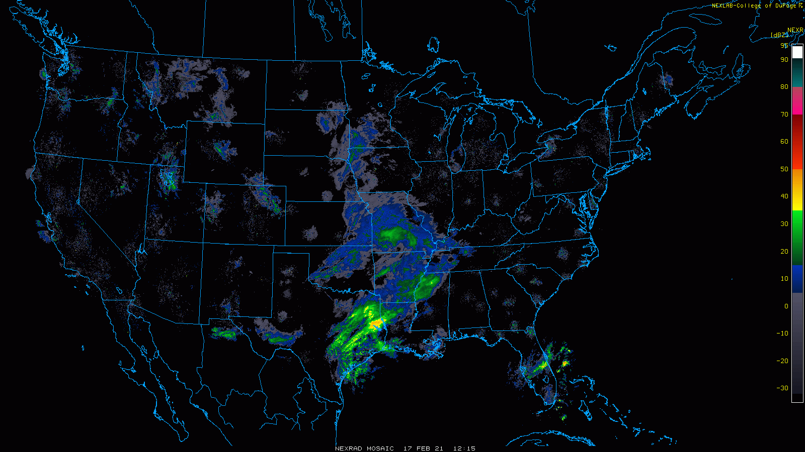
The active weather pattern continues here in New England as yet another storm system is marching northeastward from the Gulf Coast. Currently gathering Gulf moisture and bringing rain, snow and ice to Texas and Louisiana, a storm system will slowly traverse up the Appalachian Trail over the next couple days before eventually sliding south of New England.
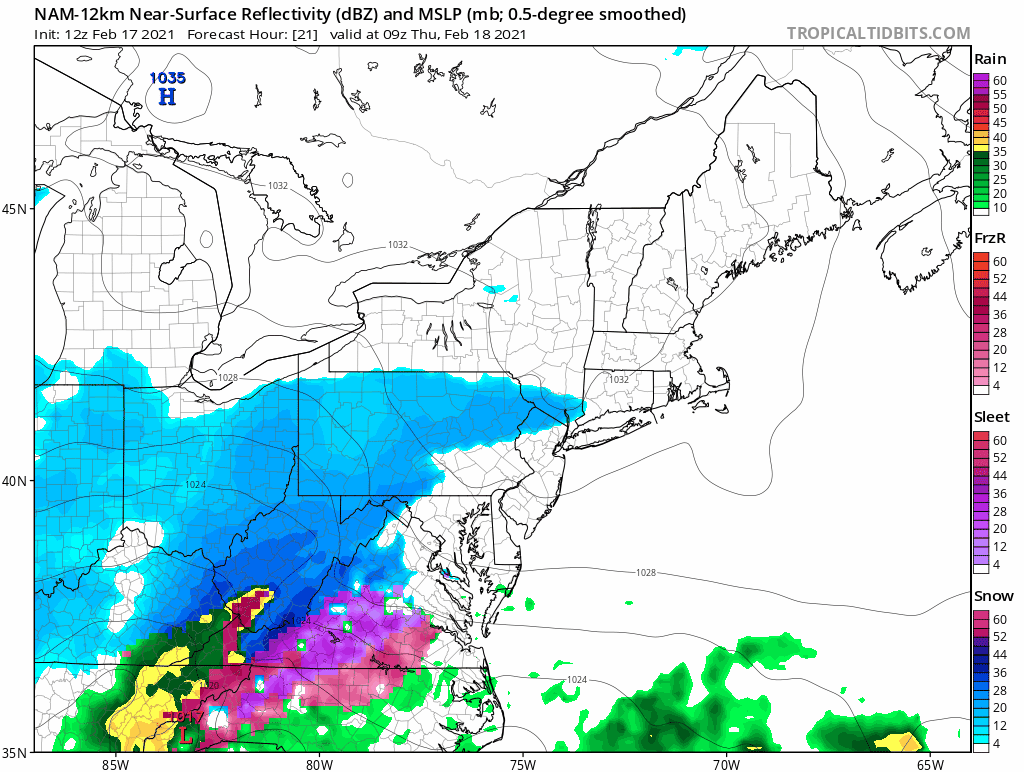
Thursday morning the storm system will be on approach from the southwest with snow overspreading the area from south to north throughout the day. With high pressure to the north, cold air will be locked in place and precipitation will fall as mainly snow.
The above loop is 30 hours long and many locations have snow flakes in the air for perhaps greater than 20 hours. However, the total amount of liquid that falls from the sky isn’t too significant with most locations between 0.25 – 0.75″ of liquid equivalent.
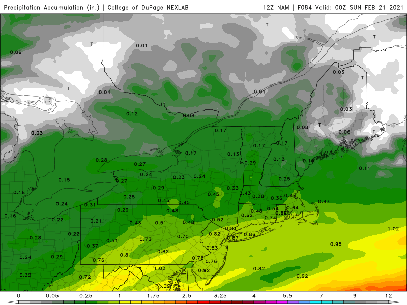
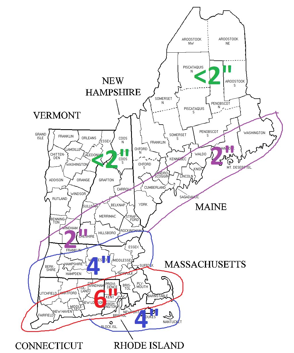
Using a rough 10:1 snow to liquid ratio gives a general 3-6″ snowfall for the area. With higher amounts to the south and lower amounts north. In general, this system as currently expected is more of a prolonged mood or snow globe snow event. Flakes may be in the air for a long time, but ultimately there isn’t much to shovel.
-Chris
