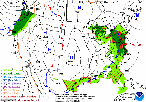
After last weeks drawn out, occasionally rainy, not very windy storm that drifted south of Nantucket for a few days, we have another storm system in the forecast. A rapidly developing area of low pressure will impact the region overnight tonight and into tomorrow morning.

Wednesday AM Weather Map – Weather Prediction Center
Currently a large, but relatively weak area of low pressure centered over the Great Lakes is occluding and dying. As the storm continues its slow demise, a new area of low pressure will quickly form over the DelMarVa area. This new area of low pressure should rapidly intensify and quickly head northeast reaching its peak strength over central New England Thursday morning. The below loop shows the Weather Prediction Center’s forecast for storm’s position and precipitation for the time period beginning Wednesday at 2 pm through Thursday 8 pm.
Forecast Maps – Weather Prediction Center
As you can see from the loop above, this storm is moving fairly quickly. But that doesn’t mean the impacts will be lessened. This storm will tap into moisture from the Gulf of Mexico and tropical Atlantic. The water vapor imagery below highlights the connection from the Gulf.

Wednesday AM Water Vapor – College of DuPage
This connection will allow for a lot of water to fall in a relative short period of time; there are a lot of reds and yellows moving overhead in the loop below. The loop runs from 5 pm Wednesday through 11 am Thursday.

RGEM Forecast Precipitation – Tropical Tidbits
Even though most locations only experience 6-8 hours of rainfall, the amounts should still be quite high. The Boston National Weather Service office is forecasting a widespread 2-3″ rainfall for the region. Higher amounts in the elevated terrain of northern Worcester County and the Berkshires. Since the leaves are beginning to fall, be sure to clear storm drains to prevent street flooding.

Storm Total Precipitation – NWS Boston
With such a strong storm overhead, there will be the potential for a period of very strong wind gusts. Coastal areas should experience winds gusting to 50 mph at times. Inland may see a few gusts of that magnitude, but as is always the case, winds will be weaker inland; closer to the 30-40 mph ballpark.

Forecast Wind Gusts – NWS Boston
Please note, that not all areas will experience the strongest winds at the same time. Eastern areas, particularly the coast line and Cape will experience the strongest winds overnight Wednesday into Thursday coinciding with the period of heavy rainfall. I am expecting inland areas to experience their strongest winds for a brief period just before the heavy rain ends and during the day Thursday as colder air moves in aloft and allows winds to mix down to the surface.
Finally, the coast lines along northern Massachusetts, New Hampshire and Maine may face quite a beating from this system. As the storm matures and reaches maximum intensity, a strong low level jet will direct a prolong period of strong winds up against the coast. This should allow for a period of high surf to pound the coastline.

925 mb – College of DuPage
In summary: 2-3″ of rain tonight with winds gusting 30-50 mph tonight and tomorrow depending on location. Please take a few minutes to clear those storm drains, double check your power outage kit (just in case) and enjoy the foliage today as I’m not sure how much will be left Friday. The weekend looks great by the way.
-Chris
