Well here we are on the eve of our third consecutive nor’easter. Unlike the previous two, this one looks like it will bring with it snow for everyone. Currently everyone in Southern New England is under a Winter Storm Warning and portions along the coast in Essex, Plymouth, Dukes and Barnstable Counties are under a Blizzard Warning; where the combination of heavy snowfall and strong winds will combine to produce Blizzard Conditions.
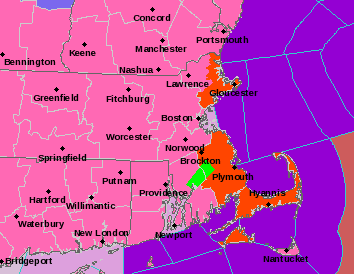
Watches, Warnings & Advisories – NWS Taunton
TIMELINE
Snow overspreads the region from south to north after midnight tonight and by 2 am light snow is falling for much of Connecticut, Rhode Island and southeast Massachusetts.

2 am Tuesday – Tropical Tidbits
By 8 am the remainder of Southern New England and much of Central New England are seeing snow. Snowfall across eastern Massachusetts and Rhode Island is quite intense. Snowfall rates are likely approaching 1-2 maybe even 3 inches per hour.

8 am Tuesday – Tropical Tidbits
Heavy snow falls throughout the day on Tuesday. The period of intense snowfall probably wraps up around 5 pm.

5 pm Tuesday – Tropical Tidbits
Lighter snowfall lasts through the evening before slowly tapering off as the midnight hour nears. The brunt of the storm shifts to Northern New England.

12 am Wednesday – Tropical Tidbits
By Wednesday morning the storm has pulled away and the digging can begin.

8 am Wednesday – Tropical Tidbits
WIND
Damaging winds from this storm will likely be confined to along the coastline and the Cape. That isn’t to say a strong gust isn’t possible inland, just that it isn’t as likely. Below is a graphic from the National Weather Service in Taunton, MA detailing the expected maximum wind gust.

Maximum Forecasted Wind Gust – NWS Boston
COASTAL FLOODING
Fortunately we are experiencing a period of low astronomical tides, so severe coastal flooding is not expected. Those areas that typically flood during a storm should expect to do so. Something like the storm two weeks ago is not expected.
POWER OUTAGES
Tomorrow’s storm will feature a lighter type of snowfall compared to our last storm which basically dumped 8-16″ of cement on us. With a more powdery snowfall expected, the potential for power outages is diminished. Those areas in southern Bristol & Plymouth counties along with the Cape could see some outages as the snow may be more dense in nature down there.
SNOWFALL
I still have some reservations about the snowfall forecast. In general the storm center is passing a little further to the east than is typical of our significant snow producers. But it is hard to ignore what the computer guidance is doing. The storm systems circulation is large enough that eastern areas at least will get in on the significant snowfall. Western regions should benefit from their increased elevation. The area between the Berkshires and 495 though is a question mark to me. That is where my highest amount of uncertainty lies.
Here is my final call with regards to snowfall. I have significantly increased totals to the north and west where previously I underestimated the impact increased elevation could have on the amount of snow that falls there.

Forecasted Snowfall
-Chris
